STOAT Tutorial
Welcome to Stoat, the environmental data annotation tool, a data fusion engine design to annotate biodiversity records with environmental remote sensing products. This tutorial provides a step-by-step guide to using the tools to explore, upload, manage, annotate, and download data.
Part 1: Pre-annotations
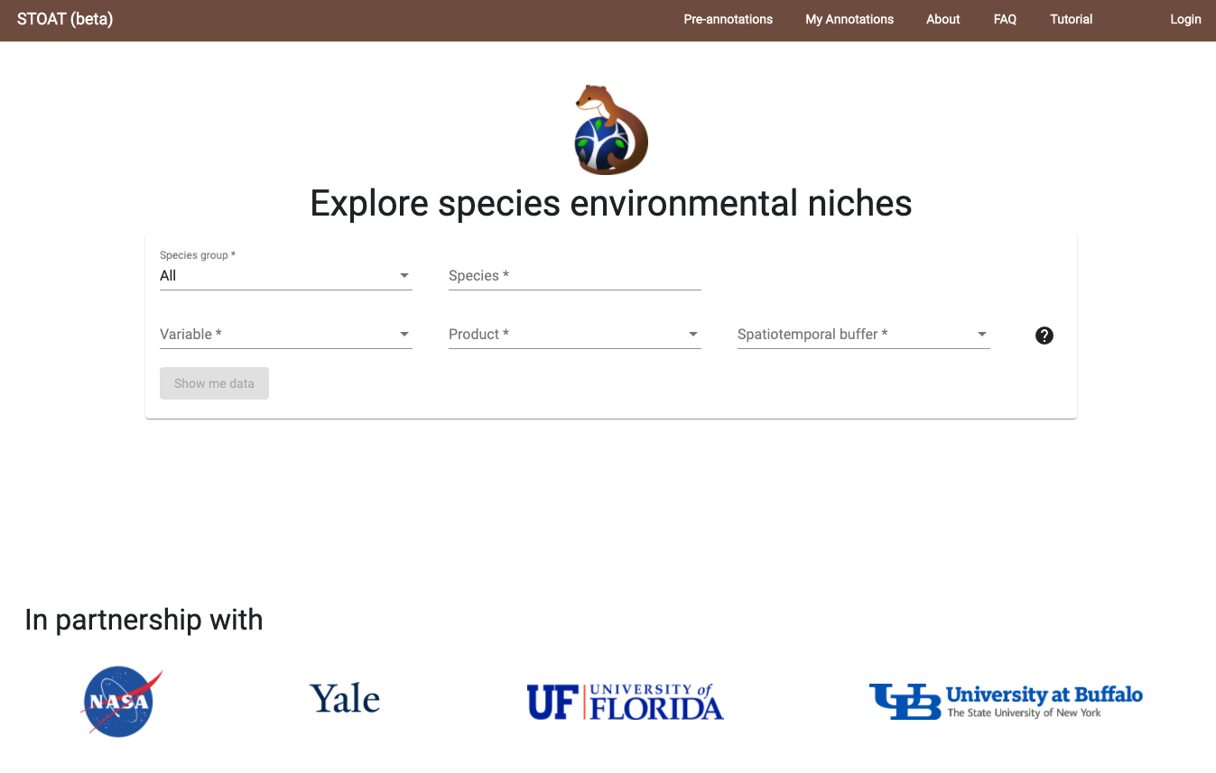
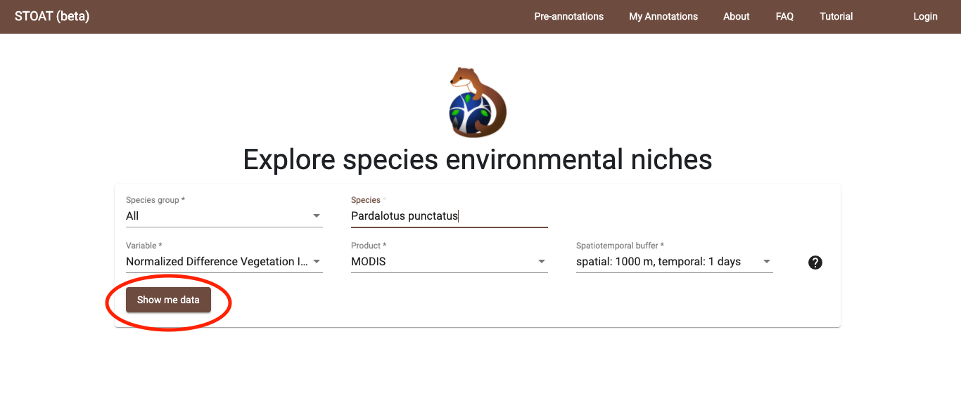
Selection - Select from the list of species and environmental parameters. Press ‘Show me data’ to start exploring pre-annotated results.
Note that the following data availability. Some spatiotemporal buffers may appear in the list, but there are no results to show and selecting these will return no data. Updates to this table coming soon.
| Taxonomic Scope | Geographic Scope | Layer | Spatial Buffer (m) | Temporal Buffer (days) |
|---|---|---|---|---|
| Birds, Mammals, Amphibians, Reptiles | Australia, Central and South America | MODIS EVI | 1000 | 1 |
| Birds, Mammals, Amphibians, Reptiles | Australia, Central and South America | MODIS NDVI | 1000 | 1 |
| Birds, Mammals, Amphibians, Reptiles | Australia, Central and South America | MODIS LST Day | 1000 | 1 |
| Birds, Mammals, Amphibians, Reptiles | Australia, Central and South America | MODIS LST Night | 1000 | 1 |
| Birds, Mammals, Amphibians, Reptiles | Australia, Central and South America | Landsat 8 EVI | 30 | 16 |
| White Stork (Ciconia ciconia) | Global | MODIS EVI | 1000 | 1 |
| White Stork (Ciconia ciconia) | Global | MODIS NDVI | 1000 | 1 |
| White Stork (Ciconia ciconia) | Global | Landsat 8 EVI | 30, 250 | 16, 32 |
Display - Explore results. Zoom in on chart and map plots. Toggle between Temporal and Bivariate results. Explore additional environmental parameters and/or species. Click ‘Update’ when changing any parameter selections to view new results.
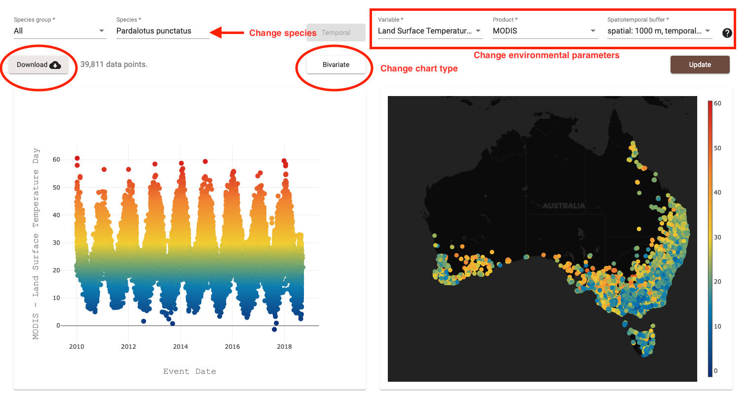
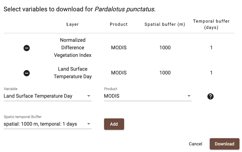
Download - Download annotated records. Select the variables and spatiotemporal buffers you would like to download. You must be logged in to download data, where user authentication is managed by Map of Life. Downloaded files (annotations and metadata) will be sent to your registered email.
Example Datasets - Here are some example combinations:
- Bilby, Macrotis lagotis (278 records) - MODIS NDVI, 1000 m radius spatial buffer, 1 day temporal buffer
- Andean Ibis, Theristicus melanopis (13,675 records) - MODIS Land Suface Temperature (Day), 1000 m radius spatial buffer, 1 day temporal buffer
- White Stork, Ciconia ciconia (7,051,270 records) - MODIS EVI, 1000 m radius spatial buffer, 1 day temporal buffer
Part 2 - User specified annotations
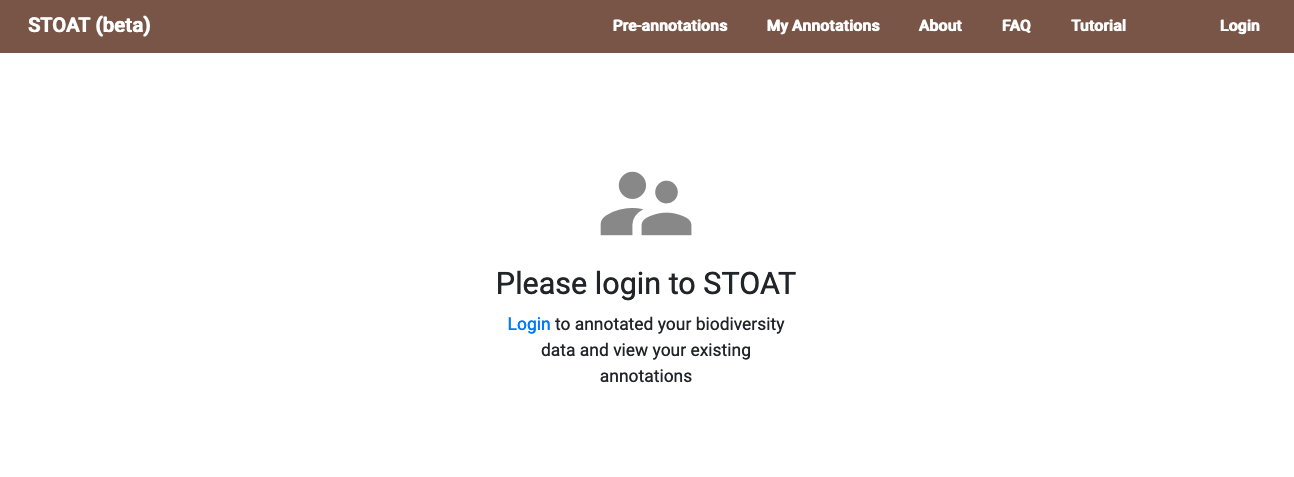
Step 1 - Navigate to the ‘My Annotations’ tab on the top bar.
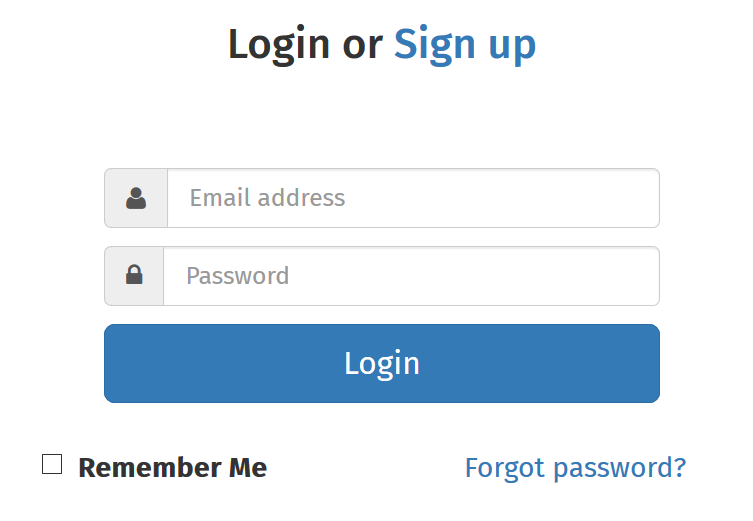
Step 2 - Login to Map of Life or create a new free account to upload, manage, annotate, and download your data.
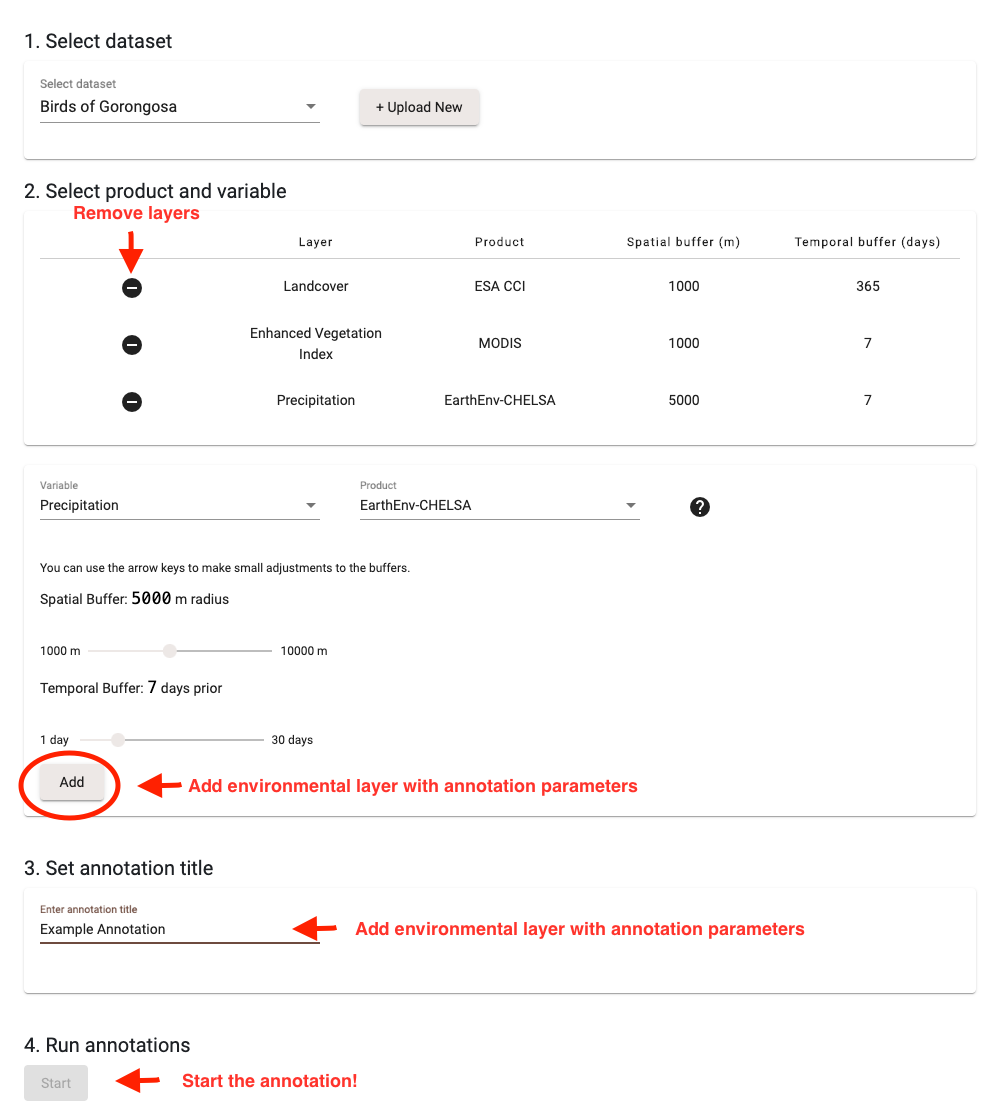
Step 3 - From the My annotations overview page, select ‘New Annotation’.

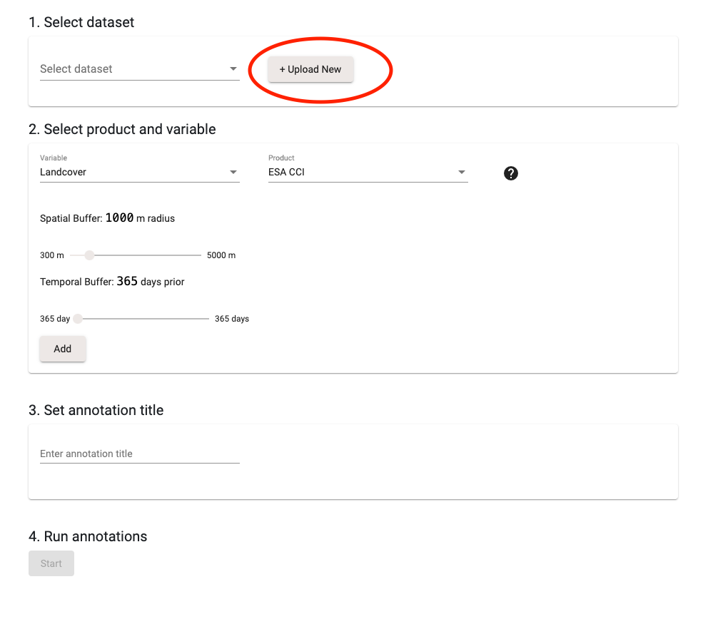
Step 4a - Select a dataset to being your custom annotation. You will need to upload a new dataset. Select ‘+Upload New’, which will take you to the Map of Life Upload tool.
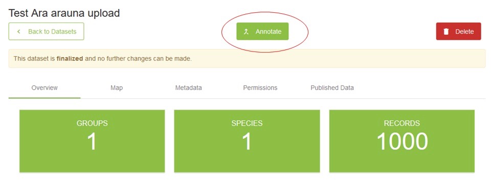
Step 4b - Once you have uploaded a dataset, the dataset status will move from 'Queued' to 'Harmonize'. Make sure to keep your dataset permissions to private if you don’t want this publicly visible. Click the dataset title to bring you into the dataset overview, and click ‘Annotate’ in the dataset overview, which will take you back to the custom annotation form.
Step 5 - Complete all fields in the custom annotation form, setting your custom parameters for each available environmental variable. Clicking 'Start' will send an email notification about the annotation process being initiated. You can track the status of your jobs here.
For any questions or support please contact us.